


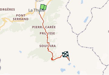

15,6 km | 34 km-effort

Tous les sentiers balisés d’Europe GUIDE+


Gratisgps-wandelapplicatie
 SityTrail
IGN / Geografische instituten
SityTrail World
De wereld gaat voor u open
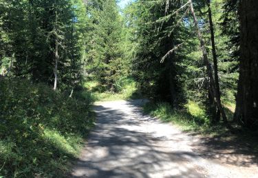
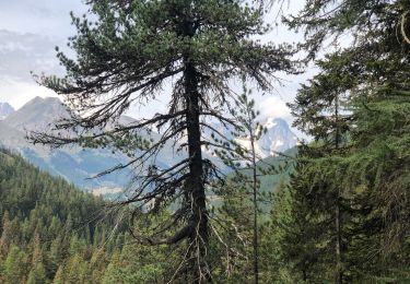
Tocht Te voet van 8,9 km beschikbaar op Valle d'Aosta, Onbekend, La Thuile. Deze tocht wordt voorgesteld door SityTrail - itinéraires balisés pédestres.
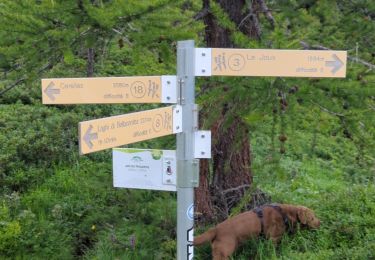
La Thuile - Rifugio Alberto Deffeyes Alte Vie
Website: http://www.lovevda.it/it/banca-dati/7/alte-vie/-valle-d-aosta-/la-thuile-rifugio-alberto-deffeyes/2984


Te voet
Te voet
Te voet
Stappen
Te voet
Stappen
Stappen
Stappen